

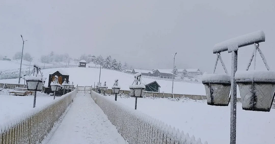
The first proper taste of winter has arrived in parts of North India, several weeks before the season officially begins. On Thursday, September 17, fresh snowfall turned the higher reaches of Gurez Valley and Gulmarg white in Jammu and Kashmir, while Rohtang, Baralacha, and Shinkula passes in Himachal Pradesh also received substantial snow. In Uttarakhand, the high-altitude Hemkund Sahib saw its first snowfall of the season as rain affected the Kedarnath region.
The change in weather has been particularly striking in places that were still experiencing relatively mild conditions. Srinagar, for instance, recorded 23.2 degrees Celsius as its maximum on September 17, 4.6 degrees below normal, while Gulmarg’s maximum settled at 11.2 degrees Celsius.
Where Has It Snowed In North India?
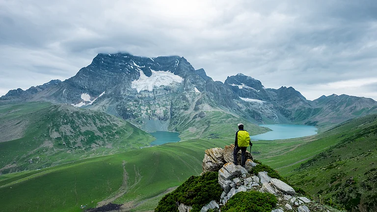
In Kashmir, snow was reported from the upper reaches of Gurez Valley, including Kabul Gali in the Tulail Valley. Located at around 4,167 m, Kabul Gali received light to moderate snowfall, leaving the pass and adjoining areas covered in fresh snow. Tulail Valley itself also saw snowfall.
The upper reaches of Gulmarg also turned white, particularly around Apharwat Peak and Gondola Phase 2. Fresh snow was reported from the Zojila Pass and Zero Point near Sonamarg as well. The snowfall in these areas was relatively light, with a thin layer settling across the higher terrain.
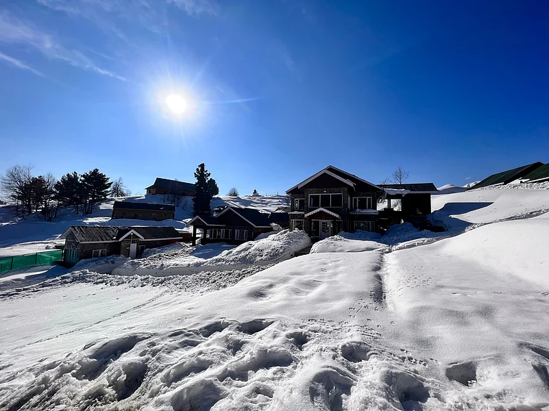

It is worth clarifying that this is not the first snow of the entire season in Kashmir. The higher reaches had already recorded isolated snowfall earlier in September, including parts of the Tulail and Zojila sectors. The latest spell, however, brought snow to several prominent high-altitude destinations at the same time.
Further south, Himachal Pradesh saw a more substantial spell. Rohtang Pass received around four inches of snow, while Baralacha and Shinkula passes also recorded fresh snowfall. Snow was reported across higher reaches of Kullu-Manali, Lahaul-Spiti, Chamba and Kinnaur. Manimahesh received around four inches, while Gauri Kund recorded about three inches.
In Uttarakhand, snowfall was recorded at Hemkund Sahib, located at more than 4,300 m in Chamoli district. The weather was wetter further down, with rain affecting the Kedarnath region.
Is It Safe To Travel?
For most tourist destinations in Kashmir, the latest snowfall has been confined to higher elevations and has not resulted in widespread snow accumulation in the valleys. Kabul Gali saw light to moderate snowfall, while Gulmarg’s upper reaches received a thin white layer. The plains, including Srinagar, received rain instead.
Himachal Pradesh has seen a more significant impact. Around four inches of snow at Rohtang Pass has already been enough to create slippery conditions, while continued snowfall and icy winds could make exposed stretches of the Manali-Leh Highway difficult to navigate. Traffic was reported to be moving normally on the major passes when the latest reports were filed, but the Lahaul-Spiti administration has advised tourists and motorists to check conditions before crossing Baralacha and Shinkula.
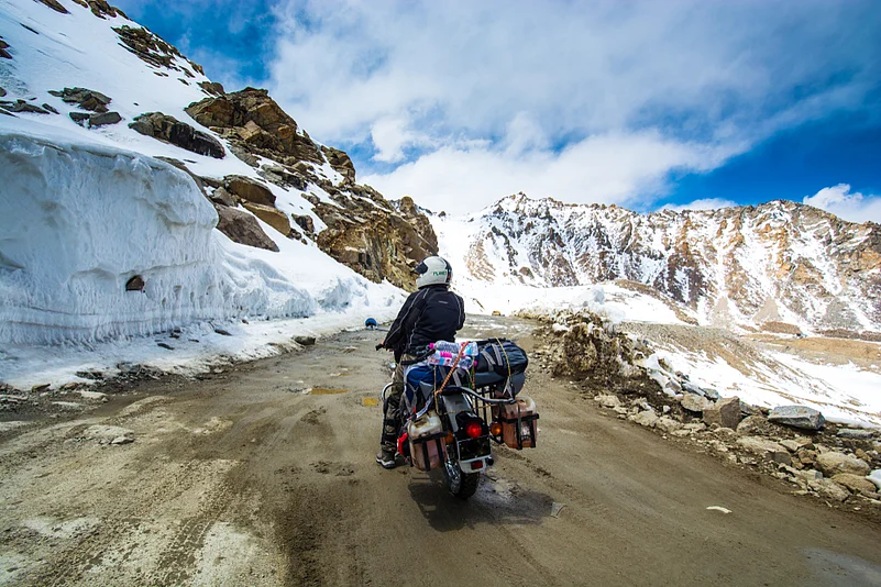
The situation is more serious for high-altitude trekking and pilgrimage routes. In Lahaul-Spiti, a sudden snowstorm on the Drilbu Ri Parikrama route near Keylong killed two people and injured at least 11 others. The incident occurred at an altitude of around 4,400 m after weather conditions deteriorated rapidly. The Manimahesh Yatra in Chamba was also temporarily suspended after snowfall before being allowed to resume as conditions improved.
In Uttarakhand, rain has affected the Kedarnath pilgrimage route, with helicopter services temporarily suspended because of poor visibility. Pilgrim movement from Gaurikund and Sonprayag towards Kedarnath was also temporarily halted amid concerns over the weather and a landslide-prone stretch of the route.
For travellers planning a Himalayan trip right now, the key distinction is between snow-covered high-altitude areas and the lower tourist towns. A trip to places such as Gulmarg or Manali may still be possible, but journeys towards high passes, remote valleys and trekking routes require closer attention to local advisories. The weather can change rapidly at these elevations.
Will The Snow Continue?
For Jammu and Kashmir, the current spell is expected to ease. The Meteorological Centre Srinagar has forecast generally dry weather from September 18 to 25, although isolated brief spells of rain remain possible. Partly to generally cloudy conditions with brief rain are expected around September 26 and 27. The IMD’s current warning page also shows no warning for Jammu and Kashmir and Ladakh from September 18 through September 24.
That means travellers hoping to see the fresh snow around Gurez, Gulmarg, and Sonamarg may get a short window of clearer weather, although conditions at high elevations can remain cold and unpredictable even after precipitation stops.
In Uttarakhand, the immediate weather situation is also expected to improve. The IMD has issued thunderstorm and lightning warnings for September 18, followed by no warning from September 19 onwards in its current seven-day outlook.
The bigger picture is more complicated. Jammu and Kashmir’s Meteorological Department has said the region could experience a relatively mild and dry winter in 2026-27 under the influence of El Niño, although one or two major snowfall spells during peak winter cannot be ruled out. The department has also stressed that seasonal forecasts this far ahead remain uncertain.
For now, though, the message from the mountains is clear: winter has made an early appearance at higher altitudes. Gurez’s green slopes have picked up their first fresh white cover, Gulmarg’s upper reaches are beginning to look like the ski destination they will become in winter, and the high passes of Himachal have already had a serious reminder of what lies ahead.
(With inputs from various sources)
FAQs
1. Where has it snowed in North India in September 2026?
Fresh snowfall has been reported in the higher reaches of Gurez Valley and Gulmarg in Jammu and Kashmir, Rohtang, Baralacha and Shinkula passes in Himachal Pradesh, and Hemkund Sahib in Uttarakhand.
2. Did Gurez Valley receive snowfall in September 2026?
Yes. The upper reaches of Gurez Valley, including Kabul Gali and Tulail Valley, received fresh snowfall on September 17, 2026.
3. Did Gulmarg receive snowfall in September 2026?
Yes. Fresh snow was reported around the upper reaches of Gulmarg, including Apharwat Peak and Gondola Phase 2.
4. Is it safe to travel to Kashmir and Himachal Pradesh after the snowfall?
Travel to lower tourist areas may still be possible, but conditions can become difficult at high passes, remote valleys and trekking routes. Travellers should check local advisories before departure.
5. How long will the snowfall continue in North India?
The current spell is expected to ease in Jammu and Kashmir, with generally dry weather forecast through September 25. Conditions can remain changeable at high elevations.