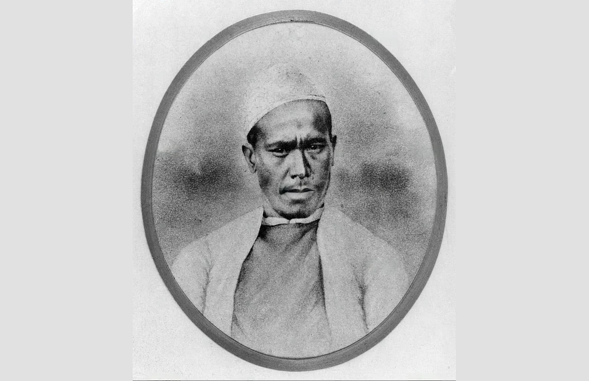
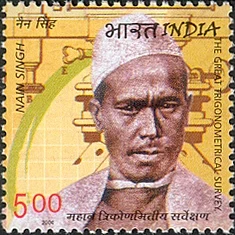
Throughout history, there have been extraordinary individuals fuelled by curiosity and an insatiable passion for adventure, embarking on epic journeys. One such legendary figure is Nain Singh Rawat, a pioneering Indian explorer often referred to as a "Pundit."
He is often regarded as one of the greatest explorers of the 19th century, known for his groundbreaking work in the formidable terrains of Tibet, Central Asia, and the elusive Tartary region. Among his most notable achievements is his extensive mapping of the Himalayas and Tibet, where he gathered invaluable information about their intricate landscapes. This achievement was awarded the gold medal in 1868 by the Royal Geographical Society, the first Indian to receive the award.
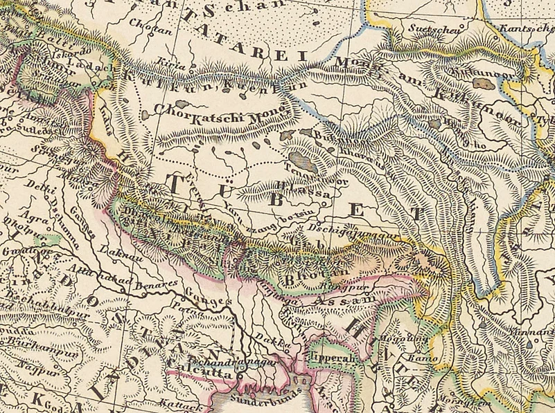
Nain Singh Rawat's Journey Through Tibet
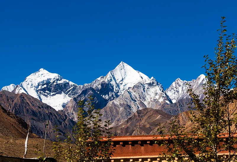
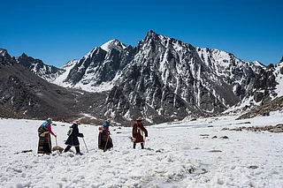
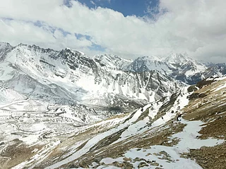
Mapping the Brahmaputra River (known as Tsangpo in Tibet), and accurately identifying the location of Lhasa, was not an easy task for a Rawat. The task deemed nearly impossible at the time due to the area's restricted access. However, Rawat’s extraordinary expedition through the breathtaking landscapes of Tibet showcases his unparalleled courage and ingenuity.
Disguised as a Tibetan monk, he meticulously mapped vast areas of this remote region, employing a combination of keen observation and innovative techniques. He accurately pinpointed the location and altitude of Lhasa.
Unique Process
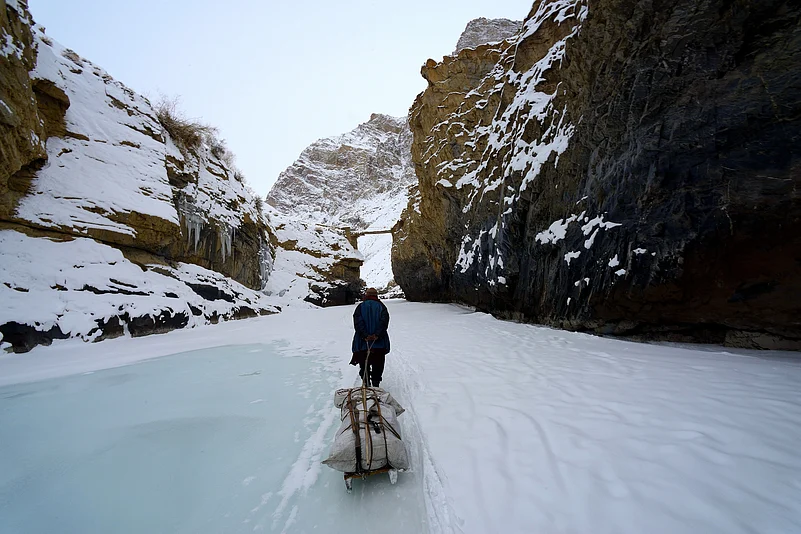
His documentation process was as ingenious as it was discreet; he cleverly masked his observations within the seemingly innocuous practice of handling prayer beads, incorporating coded messages that conveyed crucial geographical information. This unique approach allowed him to blend seamlessly into the local culture while gathering essential data. Recognised as one of the first Indian explorers to undertake such extensive research in Tibet, Rawat faced daunting challenges that included treacherous terrain, and unpredictable weather. His insights have made significant contributions to the British Survey of India. His detailed observations and meticulous notes provided a depth of understanding about Asia’s geography that had been previously unattainable.
Cartography Skills
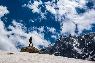
Rawat was an exceptional cartographer who embarked on journeys on foot through diverse and challenging terrains. His dedication to accuracy set him apart; he meticulously counted his steps to ensure precise distance measurements and cleverly utilised a compass hidden within his prayer wheel. This level of commitment not only showcased his skill but also underscored the importance of precision in mapping the world around us.
Early Years
Rawat was born in a village in the Kumaon Hills. After completing his education, he joined his father in exploring Tibet's rich landscapes. This immersive experience allowed him to master the Tibetan language and deeply understand the unique customs and lifestyles of the local people. In 1855, his skills caught the attention of renowned German geographers Adolf, Hermann, and Robert Schlagintweit, who invited him to join their expedition. Rawat ventured with the Schlagintweit brothers to Ladakh. This critical expedition was more than just a journey; it equipped him with invaluable knowledge of surveying instruments and set the stage for a remarkable career in exploration and discovery.
In 1863, Rawat and his cousin, Mani Singh Rawat, were chosen to train at the Great Trigonometrical Survey office in Dehradun. Over the course of two years, they honed their skills in using sophisticated scientific instruments and mastered techniques for precise measurement and data recording. Additionally, they excelled in the art of disguise, preparing them for the challenges ahead.
Books About Nain Singh Rawat
Rawat's story and experiences on the road are fascinating. Several books have been written about him. Here are a couple you should consider adding to your bookshelf:
Indian Explorers of the 19th Century by Indra Singh Rawat
This book recounts the adventures of renowned explorers Pundit Nain Singh and Pundit Kishen Singh, who played a crucial role in mapping the uncharted territories of the great Himalayan massifs. Rawat is Pundit Kishen Singh's nephew. The author has accessed records from the Survey of India in Dehradun, along with the original diaries of the Pundit brothers, folklore, personal memories, and family history to share their story.
Journey to the Forbidden City by Deepa Agarwal
This book is based on Rawat's diaries and tells the tale of his expedition to Tibet in the 19th century. It describes how Rawat, a Kumaoni explorer, was sent on a secret mission by the British to map Tibet. His efforts were instrumental in putting Lhasa on the world map.